Trail ReportsMonday, May 11, 2026·4 min read
Best Hikes in Franconia Notch State Park
From a family-friendly loop with panoramic notch views to the iconic Franconia Ridge traverse — the top-rated hikes in Franconia Notch State Park, organized by difficulty.
WMI
WMI Staff
White Mountains Insider
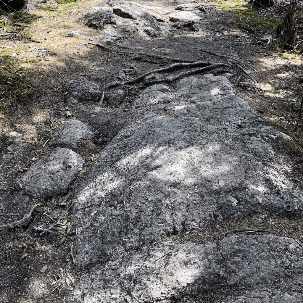
Franconia Notch State Park is the most-visited hiking destination in New Hampshire, and for good reason. The park compresses some of the White Mountains' best trail variety into a single valley: waterfall walks, ridge traverses, summit scrambles, and easy nature loops — all accessible from I-93. This guide ranks the top trails using verified listing data, organized so you can match the hike to your group.
Current trail conditions and weather forecasts are available at forecast.weather.gov. Always check conditions before heading out.
Top-Rated Hikes in Franconia Notch
1. Basin-Cascade Trail
4.9★ · 654 reviews · Easy–Moderate · ~2 miles RT The highest-rated hike in the park by Google review score. The Basin-Cascade Trail follows the Pemigewasset River from the iconic glacial pothole at The Basin through a series of cascades and swimming holes. Family-friendly, mostly flat with some rocky sections, and stunning in all seasons. The trailhead parking can fill by 9 a.m. on summer weekends.2. Artist's Bluff Loop
4.7★ · 297 reviews · Easy · 1.5 miles The go-to recommendation for families and first-time visitors to the park. The Artist's Bluff Loop is a short, low-elevation hike that rewards with panoramic views over Echo Lake and the full sweep of Franconia Notch. Manageable for young children, and one of the best sunset hike options in the park. Access from the Echo Lake parking area off I-93 Exit 34C.3. Old Bridle Path Trailhead
4.8★ · 152 reviews · Strenuous · ~8.9 miles loop with Falling Waters The Old Bridle Path is one of the two ascent routes on the classic Franconia Ridge Loop — the most celebrated day hike in New Hampshire. The trail climbs steeply to Greenleaf Hut, then continues above treeline to Mt. Lafayette. Most hikers complete the full Franconia Ridge Loop (Old Bridle Path up, Falling Waters down) in 7–9 hours. Start by 7 a.m. in summer to secure a parking spot at Lafayette Place.4. Falling Waters Trailhead
4.9★ · 41 reviews · Strenuous · ~8.9 miles loop with Old Bridle Path The Falling Waters Trail is the other half of the Franconia Ridge Loop and the more dramatic descent route — passing Cloudland Falls and Shining Rock on the way up to Little Haystack Mountain. Most hikers use Falling Waters as the descent from the ridge; if you hike it as an ascent, the waterfalls are an early reward. Located at Lafayette Place Campground off I-93.5. Mount Pemigewasset
4.7★ · 63 reviews · Moderate · ~5.8 miles RT A moderate summit hike with excellent views from a distinctive rocky peak. Mount Pemigewasset — also known as Indian Head for its famous profile — offers a less crowded alternative to the Franconia Ridge crowds, with solid views north and south through the notch. Trailhead at the Flume Gorge Visitor Center parking area.6. Kinsman Falls
4.7★ · 60 reviews · Easy · ~1 mile RT A short, easy walk to a picturesque waterfall on Franconia Brook. Kinsman Falls is ideal for visitors who want a scenic payoff without committing to a full hike — and it's rarely as crowded as the Basin-Cascade corridor. The trailhead accesses from the Coppermine Trail off Route 116.7. The Basin
4.8★ · 224 reviews · Easy · 0.3 miles The Basin is a natural granite pothole worn smooth by glacial meltwater, one of the most photographed natural features in New Hampshire. The short walk from the parking area is fully accessible. It's the logical starting point before continuing on the Basin-Cascade Trail.By Difficulty
Easy (families, young children): The Basin (10-minute walk), Kinsman Falls (1 mile), Artist's Bluff Loop (1.5 miles). Moderate: Basin-Cascade Trail (2 miles, some rocks), Mount Pemigewasset (5.8 miles, steady climb). Strenuous: Franconia Ridge Loop via Old Bridle Path (8.9 miles, 3,900 ft gain, above treeline). Full day commitment — start early.Insider Tips
- Arrive before 8 a.m. on summer weekends: Lafayette Place Campground parking fills by 7–8 a.m. on peak summer and foliage weekends. Overflow parking is available at Flume Gorge, but adds a mile of road walking each way.
- The Franconia Ridge Loop is alpine terrain: Once above treeline on Mt. Lafayette and Mt. Lincoln, conditions can change rapidly. Bring wind and rain layers regardless of forecast, and check forecast.weather.gov before heading up.
- Fall foliage peak: The Basin-Cascade Trail and Artist's Bluff Loop are exceptional during peak foliage (typically early–mid October in Franconia Notch). The ridgeline above treeline turns before the valley floor.
Plan Your Visit
Franconia Notch State Park is accessible year-round via I-93, with main exits at 34A (Basin/Lafayette Place) and 34C (Echo Lake/Artist's Bluff). For more hiking options in the broader western White Mountains region, see our Franconia town guide and Lincoln town guide.WMI
WMI Staff
The White Mountains Insider editorial team covers local news, trail conditions, restaurant openings, real estate trends, and everything happening in New Hampshire's White Mountains region. Got a tip? Email us at tips@whitemountainsinsider.com